Full-Service Land Surveying and Mapping Services
Free Estimates | Competitive Prices | Over 30 Years of Experience
Free Estimates
Competitive Prices
Over 30 Years of Experience
3D Laser Scanning Services in Evansville, IN
When you're looking for the best land surveying, mapping, and 3D laser scanning services Evansville, IN has to offer, trust in the experts at Hennessy Surveying.
In business since 1988, Hennessy Surveying, Inc is a full-service land surveying firm dedicated to providing accurate, cost-effective and timely services across a full spectrum of surveying operations. With more than 30 years of experience on our side, you can trust our team of experts to help with any project you need.
When you start a project, you deserve to rely on someone who knows the area. We're proud to say that we're a locally-owned and operated company, authorized with the Indiana Society of Professional Land Surveyors and the National Social of Professional Surveying. You can believe that our crew will get the job done right the first time. That's why we offer more than just land surveying services: we also offer the mapping, construction services, and 3D laser scanning services Terre Haute, IN depends on. We're ready to help businesses, organizations, and individual landowners get the results they're looking for. Don't hesitate to talk to our team about your specific needs today.
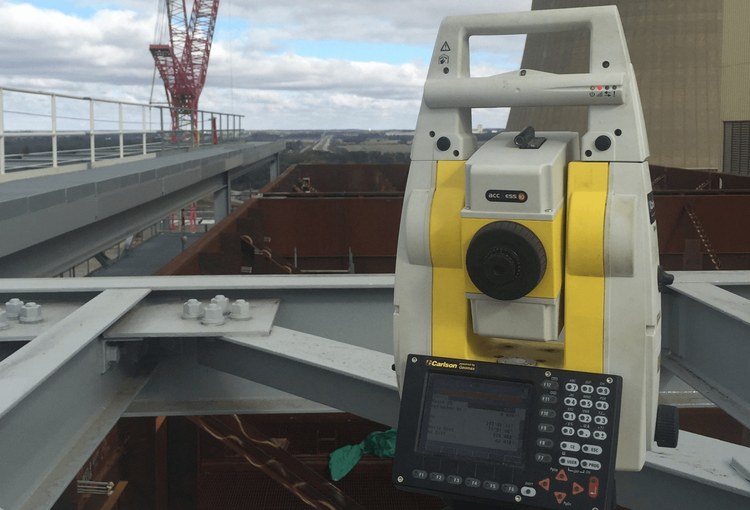
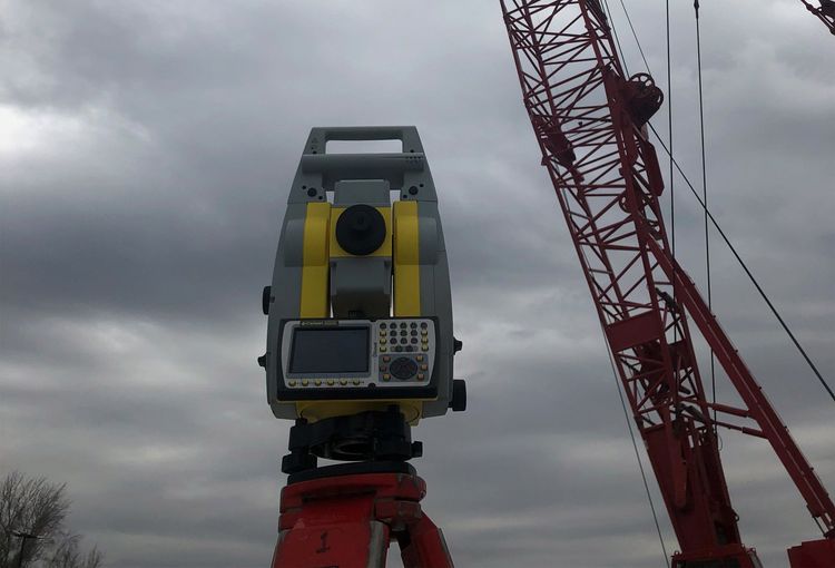
Our surveying crews utilize the latest technology in the surveying field available. For a FREE estimate, call
(812) 635-9002 or fill out our convenient online form. We look forward to earning your business.
Construction Surveying
Turn to Hennessy Surveying, Inc for precise locating, measuring and communication throughout your construction project. For a FREE estimate, call (812) 635-9002.
Learn More
Land Surveying
From construction staking and topographic surveys to GPS control, boundary surveys and land title surveys, you can rely on our full-service land surveying.
Learn More
3D Laser Scanning
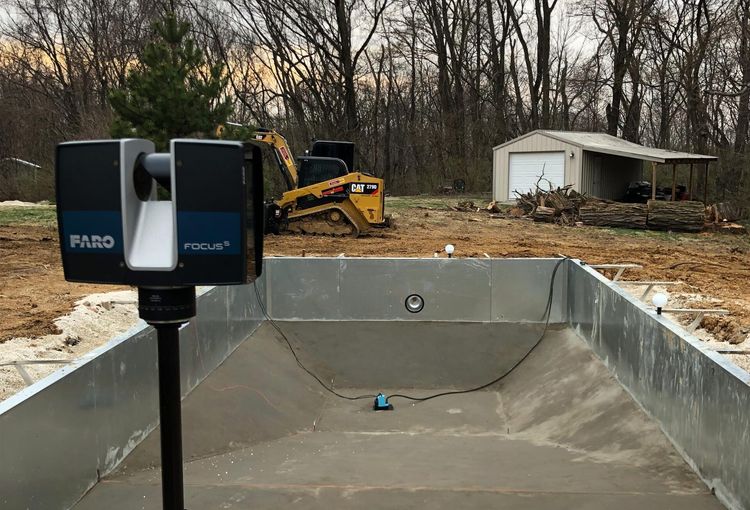
Trust our team to measure, model and map complex piping, foundations, structures and other features found in chemical plants and other industrial environments.
Learn More
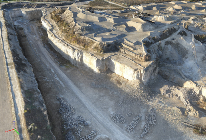
Drone Surveying/Mapping
Rely on Hennessy Surveying, Inc for drone surveying that reduces the need for data collection in the field, providing quicker data updates and progress pictures.
Learn More
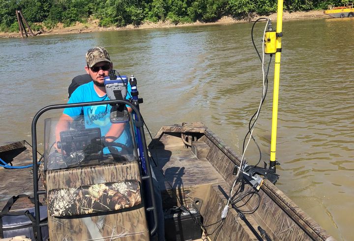
Bathymetric Surveys
Our crews utilize the latest technology to measure the depth of a body of water and map the underwater topography. Call
for a FREE estimate today.
Learn More
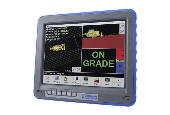
GPS Machine Control
As an authorized Carlson software and hardware dealer, we specialize in dozer systems, excavators and drill rigs for the coal industry and power generating stations.
Learn More
About Hennessy Surveying, Inc
As a full-service land surveying firm since 1988, Hennessy Surveying, Inc is a family and locally owned and operated business with over 30 years of land surveying and mapping experience. We offer competitive prices and FREE estimates. Call today.
Learn More

Share On: